
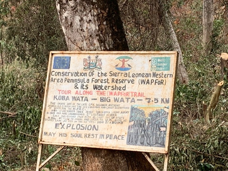
Last Saturday, I joined a group hiking from the east side of the peninsula to the west on an old trail used for at least 200 years and possibly longer. The trail starts in the village of Koba, just past Waterloo – the town where the peninsula connects the mainland. It crosses the mountains and ends at Big Wata (a river) near York, one of the early settlements on the west coast of the peninsula.
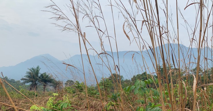
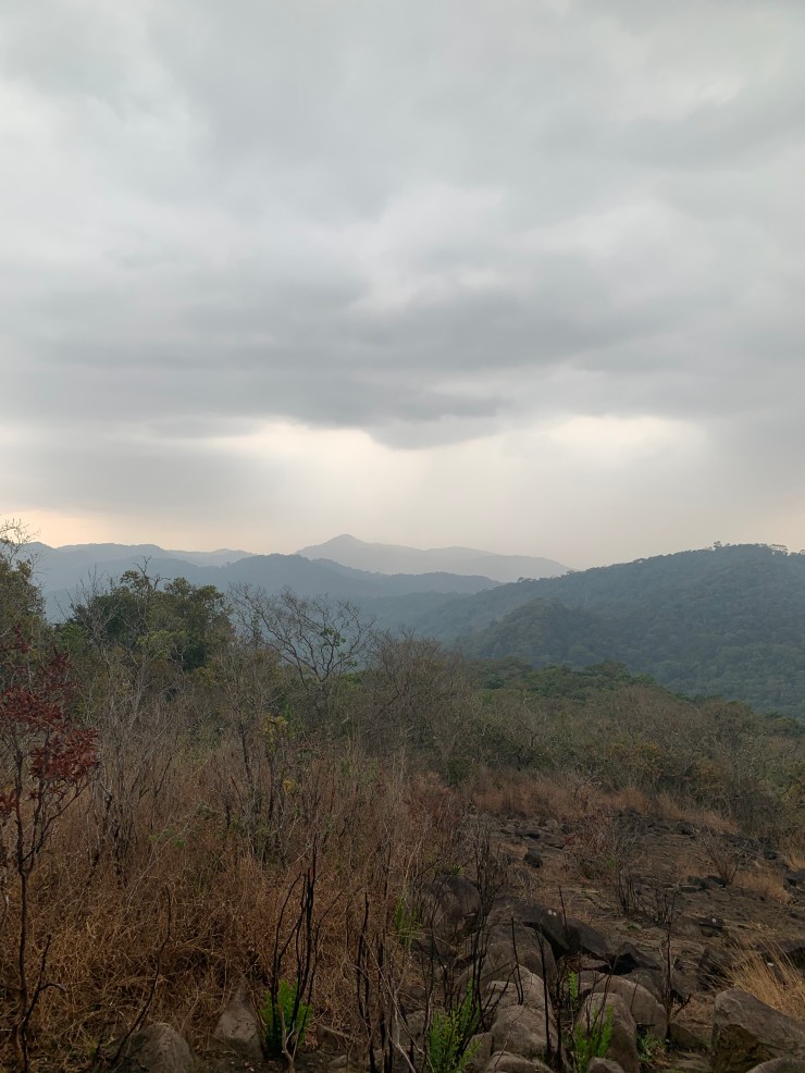
If we had hiked straight across the trail might have been 7.5km, but we hiked partway and turned south to hike up to the highest peak on the peninsula – see the photo below.
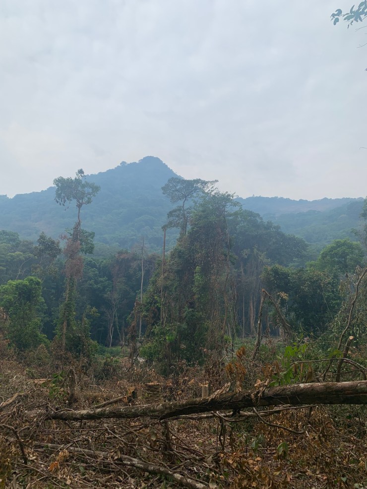
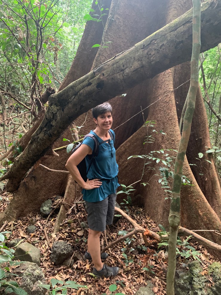
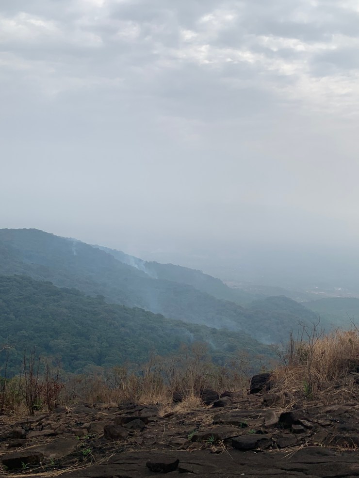
Although there was some burning to clear for planting, there were still some large trees and dense forest. Fortunately, it was a cloudy day so not as hot as it could have been.
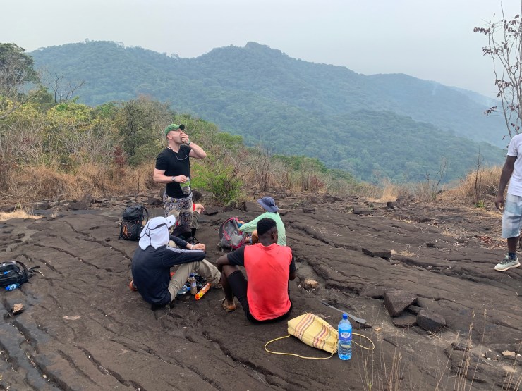
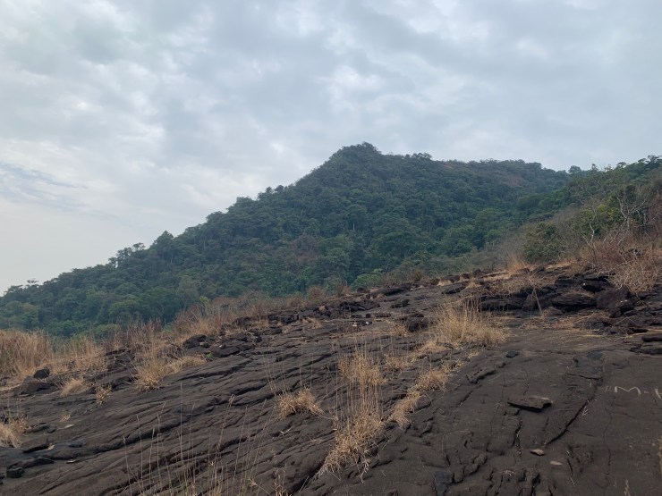
We took a short break in an open area. Above the peak is getting closer but there is still almost an hour of uphill climbing. Note the local guide below in flip flops. When it got really steep, he took them off and went barefoot.

We had lunch at the top after about 3 hours of hiking.

On the way down it actually started raining which was nice and cool but made the downhill treacherous with a choice between placing feet on slippery rocks or slippery leaves. We all made it safely to the destination and had logged 9.8 miles!
